Beemer Nebraska 68716
Find local businesses near Beemer:
Places to Eat
Places to Stay
Health & Medical
All Listings near Beemer
Beemer Area Cameras
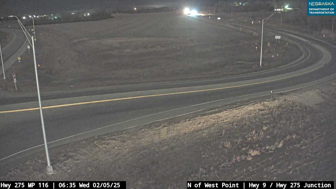
US-275 near West Point
Navigate & Explore Beemer
Get directions to Beemer: Waze → · Google Maps →
Road Conditions: Nebraska 511 — 511.nebraska.gov
Cuming County Cameras: View Cuming County cameras →
Travel Corridor: US-275 Corridor →
Cuming County: Cuming County Page →
Region: Northeast Nebraska →
Town Directory: Nebraska Town Directory →
Beemer, Nebraska
Beemer is a village in western Cuming County, Nebraska, with a population of approximately 638 (2020 census). Located in the agricultural heartland of northeastern Nebraska, Beemer is a small but tight-knit community serving the farming families of western Cuming County. The village lies approximately 12 miles west of West Point along the US-275 corridor and shares school district boundaries with neighboring West Point.
Founded in the 1880s with the arrival of the Chicago and North Western Railway, Beemer grew as a grain-shipping point and supply center for homesteaders working the fertile prairie soil of Cuming County. The village was incorporated and named for J.R. Beemer, an early railroad official or land agent associated with the town's founding.
History
Like many Nebraska villages, Beemer owes its existence to the railroad era of the 1880s. The Chicago and North Western Railway line through Cuming County created a series of shipping points spaced roughly ten miles apart — the typical distance a farmer could haul grain by wagon in a single day. Beemer emerged as one of these points, serving the agricultural community of western Cuming County.
The late nineteenth and early twentieth centuries brought waves of German and Czech immigrant families to the Beemer area, establishing the family farms and cultural traditions that still shape the community. The West Point-Beemer School District consolidation joined Beemer's educational resources with those of the county seat, reflecting the pragmatic cooperation that Nebraska rural communities have long practiced.
Location & Access
County: Cuming County
Region: Northeast Nebraska
Primary Highways: US-275
ZIP Code: 68716
Population: ~638 (2020 census)
Designation: Village
Adjacent Counties
Thurston County (north) · Burt County (east) · Dodge County (south) · Stanton County (west) · Wayne County (northwest)
Nearby Towns
West Point (12 miles east) · Wisner (10 miles north) · Pilger (15 miles west) · Stanton (20 miles west)
US-275 Corridor
US-275 runs through Beemer, connecting it to West Point to the east and to Stanton County and beyond to the west and northwest.
Eastbound toward West Point & Omaha:
· West Point — 12 miles · Fremont — approx. 52 miles
Westbound toward Stanton County:
· Pilger (Stanton County) — approx. 15 miles · Norfolk — approx. 40 miles
Education & Health
Schools: West Point-Beemer Public Schools — consolidated K-12 district. Health: West Point Medical Center, 12 miles east.
Beemer, Nebraska (68716)
Beemer is a village in western Cuming County along US-275, home to approximately 638 residents. Part of the West Point-Beemer School District, it serves the farming families of western Cuming County approximately 12 miles west of the county seat of West Point.
ZIP: 68716 | Pop: ~638 | Highways: US-275 | Designation: Village
Beemer Town Page · US-275 Corridor · Cuming Cameras
Adjacent Counties: Thurston (north) · Burt (east) · Dodge (south) · Stanton (west) · Wayne (northwest)
Explore More: Cuming County · Northeast Region · Town Directory

51faY4+Ux3L__SY300_

cropped-hwy20x.jpg

Nebrask Inn
Nebrask Inn

Gross Nebraska Next 3 Exits
Gross Nebraska Next 3 Exits
