
Stafford Nebraska 68742 (US-20 MM 321)
Stafford is a small community in Holt County at one of the most important highway junctions in northern Nebraska — the official starting point of Nebraska Highway 275 at its intersection with US Highway 20. From this junction, NE-275 runs 175 miles southeast to Omaha, while US-20 continues east toward O'Neill and west through the Sandhills.
Though small in population, Stafford sits at the crossroads of two major corridors and within easy reach of Ashfall Fossil Beds State Historical Park near Royal — one of Nebraska's most remarkable natural attractions, where volcanic ash preserved prehistoric animals 12 million years ago.
Visitor & Travel Categories
Business & Economic Categories
Nebraska Cameras — Stafford Junction
Live camera images at the US-20 / NE-275 junction at Stafford. View all Nebraska cameras
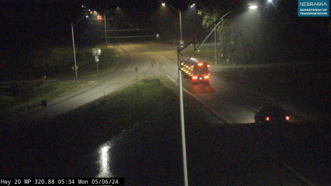
US-20 / NE-275 junction — looking east — US-20 continues to Ewing / NE-275 begins southeast toward Neligh, Norfolk & Omaha
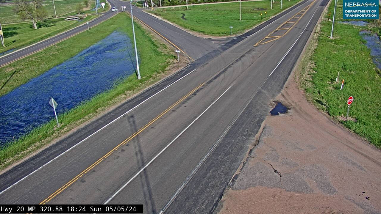
US-20 / NE-275 junction — intersection
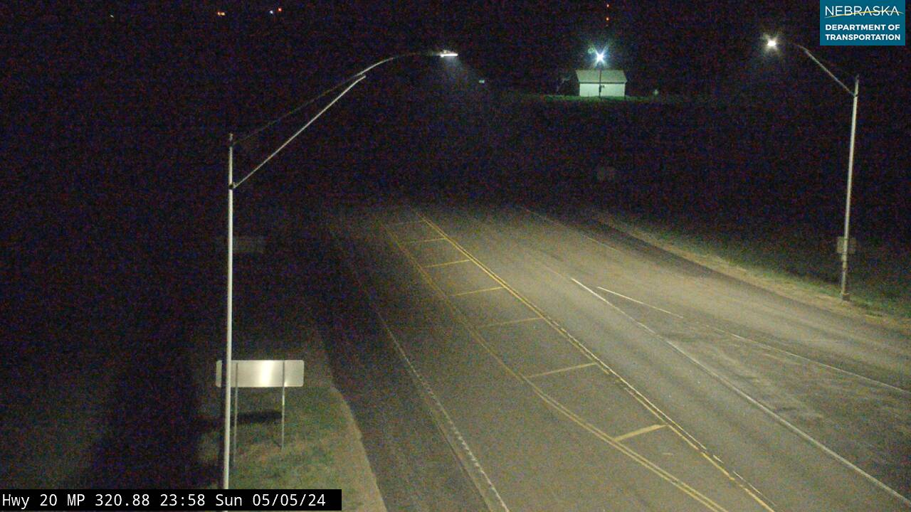
US-20 / NE-275 junction — looking northwest
US-20 / NE-275 junction — looking southeast toward NE-275
Navigate from Stafford
Get directions: Waze | Google Maps | Apple Maps
Road conditions: 511 — US-20 | 511 — NE-275
Continue your journey: US-20 — east & west | NE-275 — southeast to Omaha | US-281 via O'Neill | Cowboy Trail
Nearby services: Find businesses near Stafford | O'Neill — full services (14 mi NW)
Emergency: Holt County Sheriff — (402) 336-1827 | 911
Highways at Stafford
- US Highway 20 — east–west across northern Nebraska. O'Neill is 14 miles west; Inman and Stuart are to the east.
- Nebraska Highway 275 — begins here, running 175 miles southeast through Neligh, Norfolk, West Point, and Fremont to Omaha.
Nearby Corridors
- US Highway 281 — north–south through O'Neill, 14 miles northwest
- Cowboy Trail — 317-mile rail-to-trail, access at Ewing (6 miles east) and O'Neill
Road Conditions
Near Stafford
Ashfall Fossil Beds State Historical Park
Located near Royal, approximately 10 miles northeast of Stafford. A volcanic eruption 12 million years ago buried hundreds of animals at an ancient watering hole — rhinoceroses, three-toed horses, camels, and saber-toothed deer preserved in volcanic ash. Working fossil preparation lab open to visitors.
Nearby Towns
- O'Neill — 14 miles northwest — Holt County seat, Irish Capital of Nebraska; full services
- Ewing — 6 miles east — Cowboy Trail access
- Clearwater — 10 miles southeast — first stop on NE-275 in Antelope County
- Neligh — 18 miles southeast — Antelope County seat on NE-275
Stafford Location
- County: Holt County (License Plate 36)
- ZIP: 68742 | US-20 Milepost: MM 321
- Highways: US-20 and NE-275 (starts here)
- County Seat: O'Neill (14 miles northwest)
Stafford Adjacent Counties
- Holt County — Stafford's home county, seat at O'Neill, 14 miles northwest
- Antelope County — borders Holt to the southeast along NE-275; Clearwater (10 miles) and the county seat of Neligh (18 miles) both lie within Antelope County
Stafford Historical Background
Stafford was platted in the early 1880s by Dan O'Donnell along the Fremont, Elkhorn & Missouri Valley Railroad line, about eight miles northwest of Ewing, and took its name from railroad roadmaster Mike Stafford. In its early years the townsite supported a busy rail depot — six passenger trains and 25 to 35 freight cars passed through daily — along with three large hay barns and Albert Hopkins' hay-shipping office. Swedish immigrant Peter Walstrom worked as the town's blacksmith, cobbler, and rug-weaver, while the local schoolhouse doubled as a social hall and church for the more than three dozen children of homesteading families with names like Carney, Moor, Morgan, and Brittell, who had come from Ireland and Indiana to build new lives on the Nebraska prairie. Like many rail-era Holt County towns, Stafford declined through the 1920s as highways began replacing the railroad for shipping freight.
Read the full account in Chapter 31: "Stafford Through The Years" of Before Today: A History of Holt County, Nebraska.
Stafford Education
- Summerland Public Schools — 416 N. Spruce Street, Ewing, NE 68735 (6 miles east); serves the Stafford area of Holt County
Stafford Health Resources
- Avera St. Anthony's Hospital — O'Neill, 14 miles northwest; full-service hospital and emergency care for the Stafford area
- Emergency: 911 | Holt County Sheriff — (402) 336-1827
Wandermore in Nebraska
Want to see more photos and read up on the history of all 531 of Nebraska's incorporated communities? I have written a travel guide that features tons of history and access to photos, and useful travel information about restaurants, breweries, golf courses, and more for every town. Join over 9,900 other individuals who have copies of my books and "wander more" across the Midwest! https://wandermorepublishing.com/shop/p/nebraskatravelguide
See something missing or out of date on this page? Help us keep Stafford accurate — submit a correction or suggest a listing.